Outdoor adventures

Royal National Park

Karloo Track & Bottle Forest Trail Loop
Royal National Park, NSW 8km loop · ~3 hours Bring: Swimmers Loop
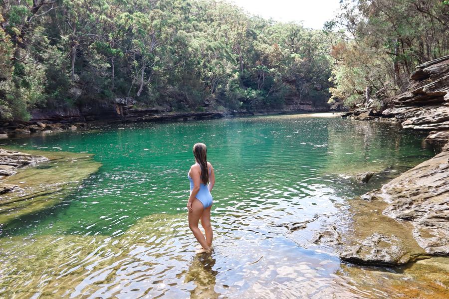
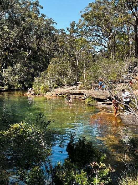
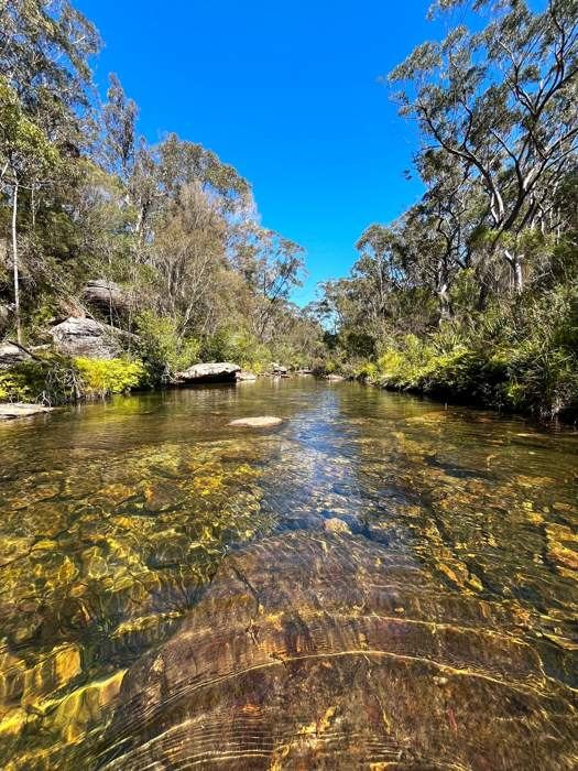
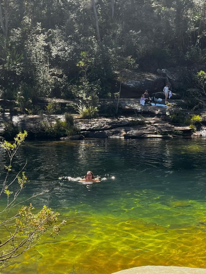
Swimming in the crystal clear water at Karloo Pools
Karloo Pools on a busy day, everyone cooling off
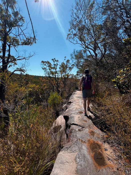
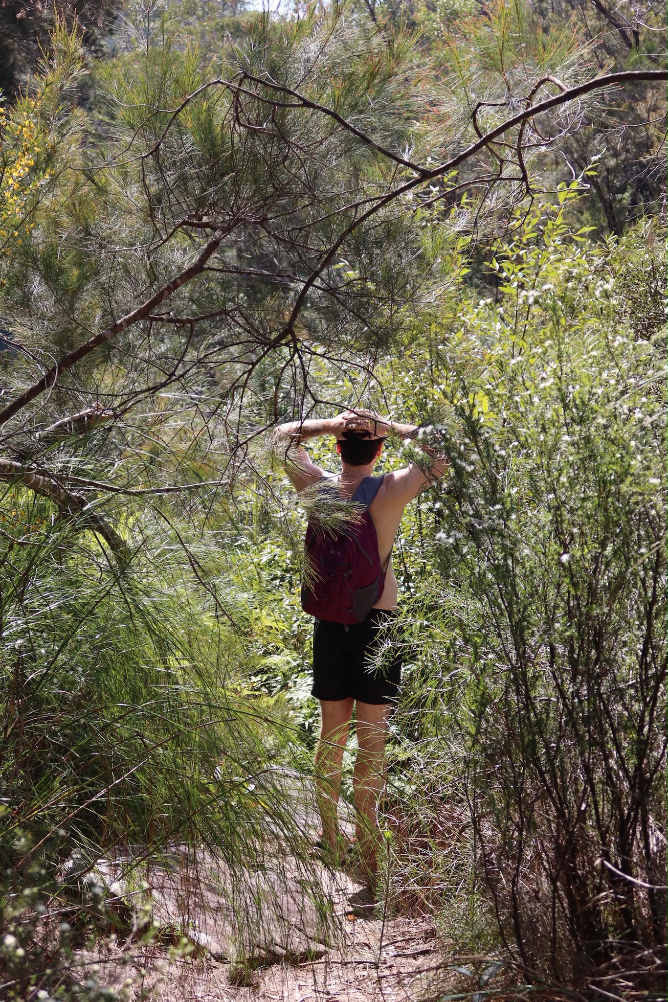
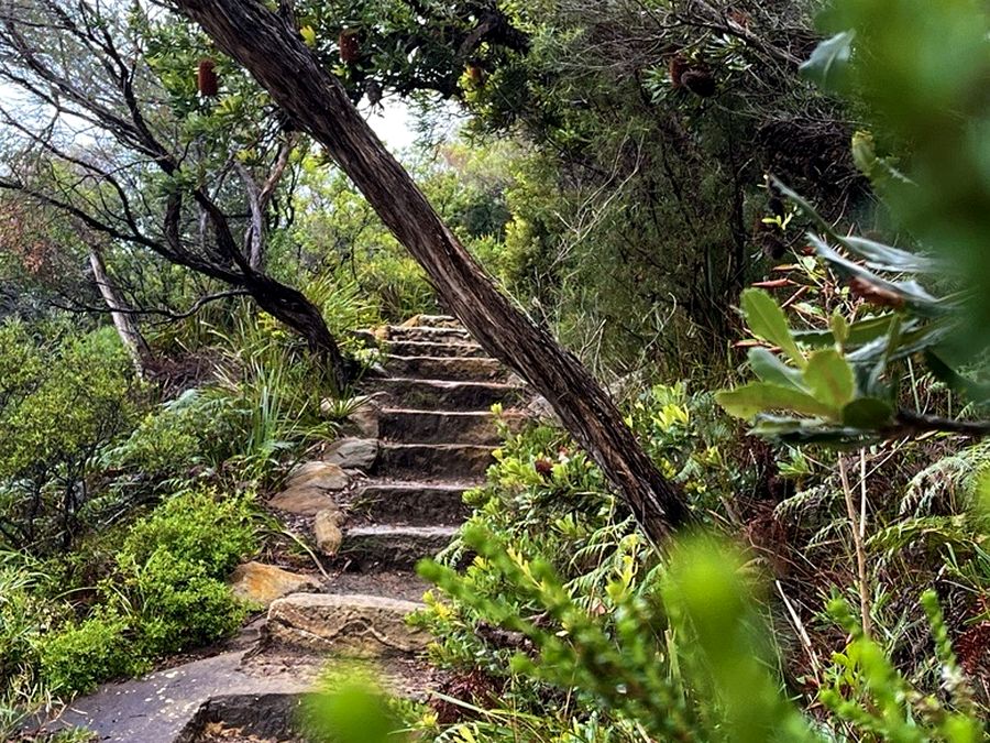
Walking the narrow sandstone track through the bush
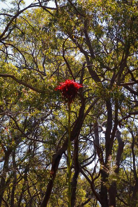
A bright red native flower along the trail

A fairytale-like trail through Royal National Park down to Karloo Pools, all gum trees, forest and colourful bush flowers. Turn it into a loop back via the Bottle Forest Trail, or just walk back the way you came.

My experience & recommendations

Start: Train, T4 line to Heathcote Station, or drive and park at the Karloo Track starting point ↗ / along Wilson Parade.

  • Get there early, ideally by 9am, then follow the Karloo Track straight down to Karloo Pools.
  • Turn it into a loop by crossing the river at the pools and following the path with the river on your right, then take the (unmarked) left back up to the Bottle Forest Trail. Want it simpler? Just follow the Karloo Track back the way you came.
  • One of the nicest trails I've done in ages, gum trees, stunning forest, and colourful plants and flowers the whole way down.
  • Moderate to hard. The way down is a little steep with uneven ground (but stunning), the loop back up via Bottle Forest Trail is extremely steep.
  • Make a full day of it, bring a picnic down to the pool and jump in and out. Cold, but crystal clear and magical.
Good to know

Keep going past Karloo Pools on the loop trail and you'll find more swimming holes just as nice, with no one around, perfect if you want a quieter spot to swim.
Winifred Falls & South West Arm Pool

Royal National Park, NSW ~4km return · ~1–1.5 hours Bring: Swimmers & a picnic One-way
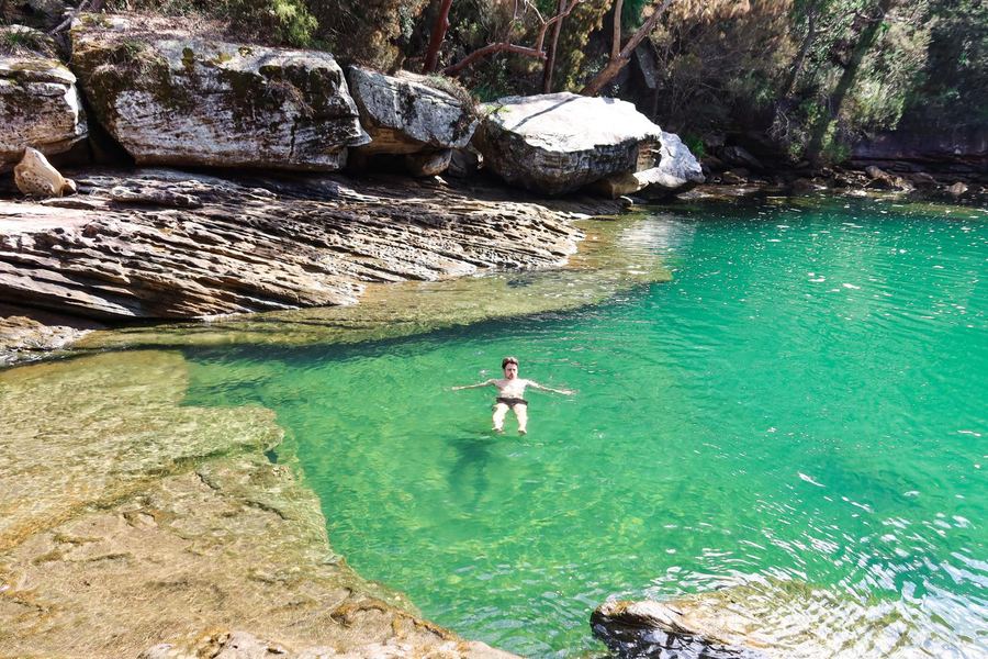
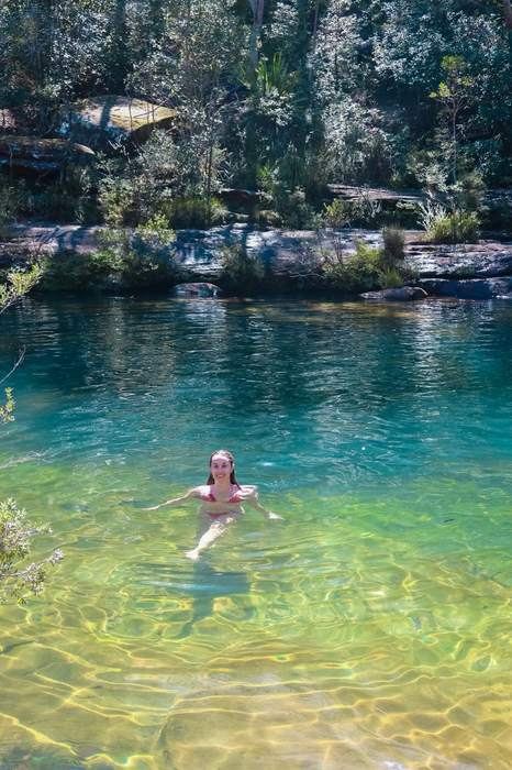
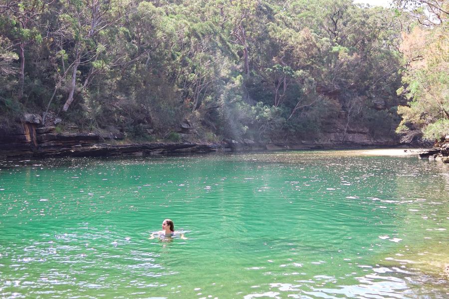
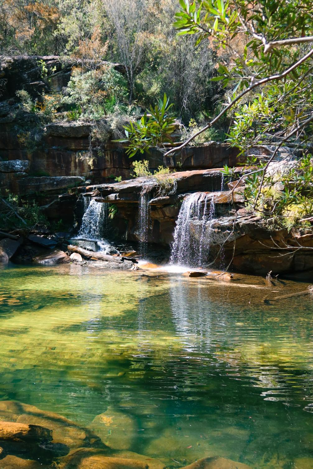
Swimming in the emerald green water at South West Arm Pool
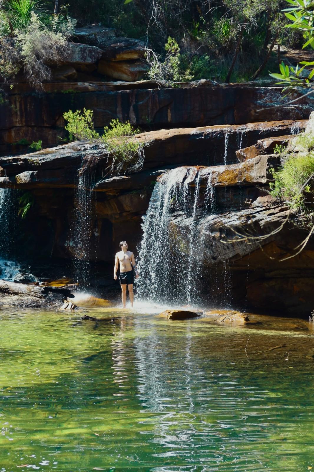
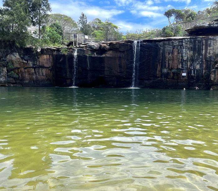
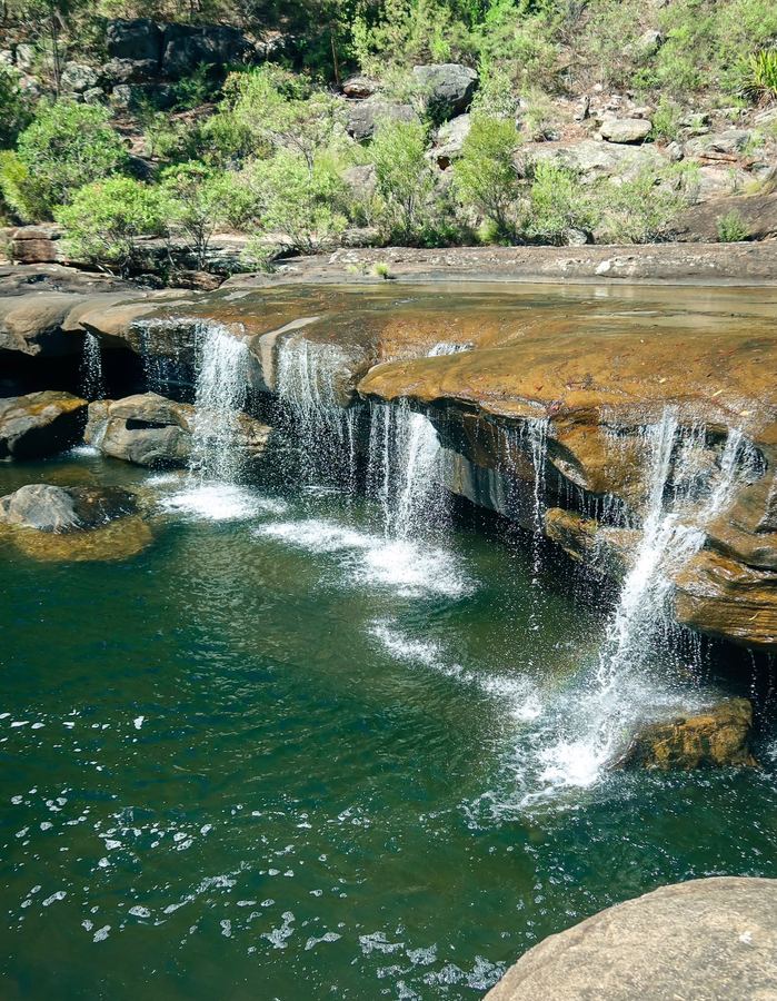
Winifred Falls cascading into the green pool below
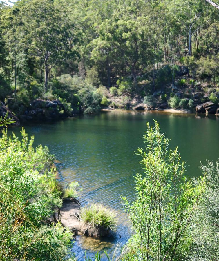
A swim near the boulders at South West Arm Pool
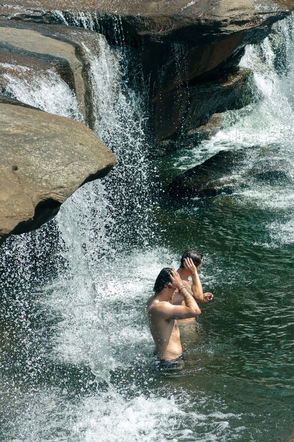
Standing under the spray at Winifred Falls

Step into an actual fairytale here. It's just a 20 minute walk downhill to a hidden waterfall you can swim under, and if you keep going, you'll reach a perfectly turquoise, crystal clear creek to swim in too.

My experience & recommendations

Park: Warumbul Road, Audley ↗, just past Audley Village.

  • The track down to Winifred Falls is steep and pretty direct, about 20 minutes each way. You'll reach a shimmering emerald pool right beneath the falls, cold water, but clear, deep and great for a swim!
  • A few hidden rock platforms around the falls are perfect for a break, a snack and some sun. Get there early if you want a peaceful spot to yourself.
  • Importantly, once you're done there, follow the hidden, faint track to the left along the river for about 300m to reach South West Arm Pool, you'll know it when you see it.
  • This one's genuinely different: crystal clear, turquoise water, deep enough to jump into. A little whimsical, unlike anything else on the walk.
  • Spend the day here, bring a picnic and your book. Don't pack too heavy, the walk back up is short but very steep!

Wedding Cake Rock & Marley Beach

Royal National Park, NSW ~9km return · ~3 hours Bring: Swimmers One-way
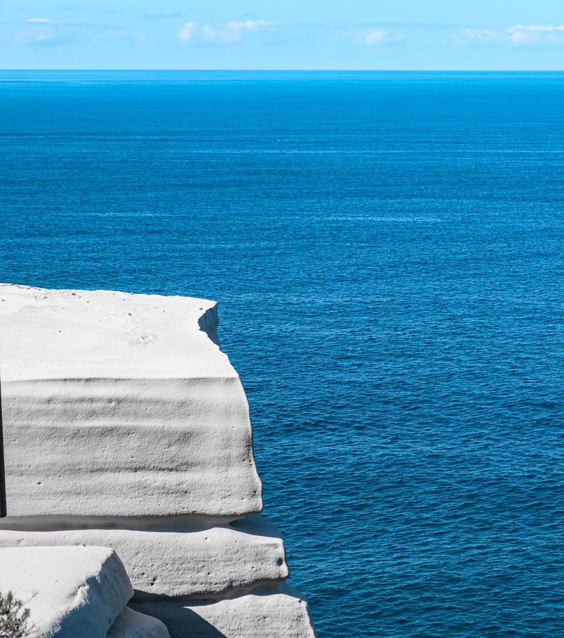
The iconic white slab of Wedding Cake Rock jutting out over the ocean
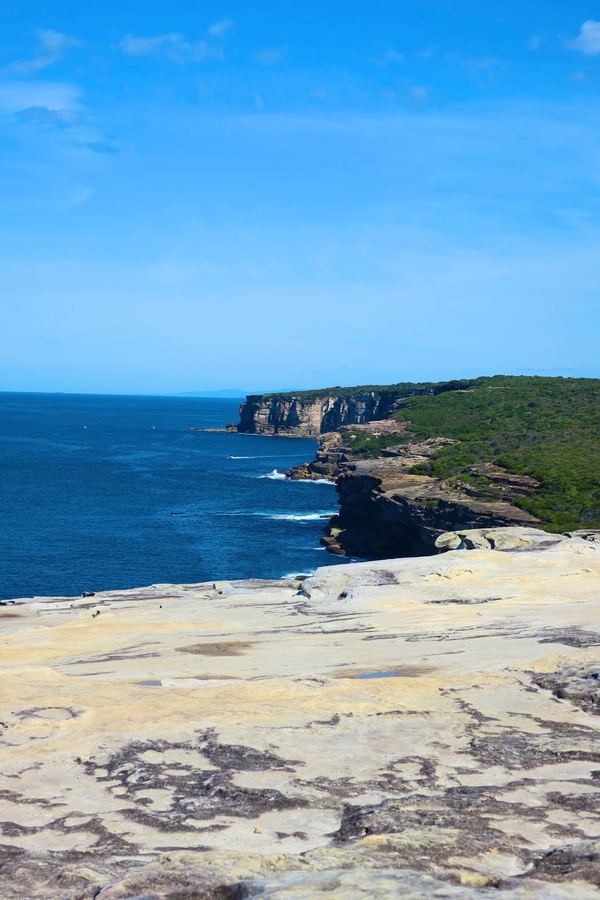
The rugged coastline stretching towards Wedding Cake Rock
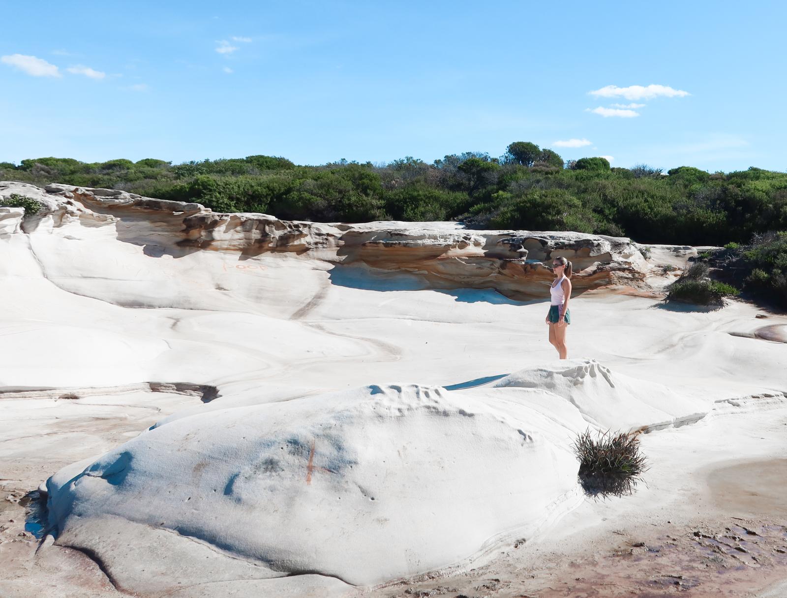
Standing among the white sandstone rock formations near Wedding Cake Rock
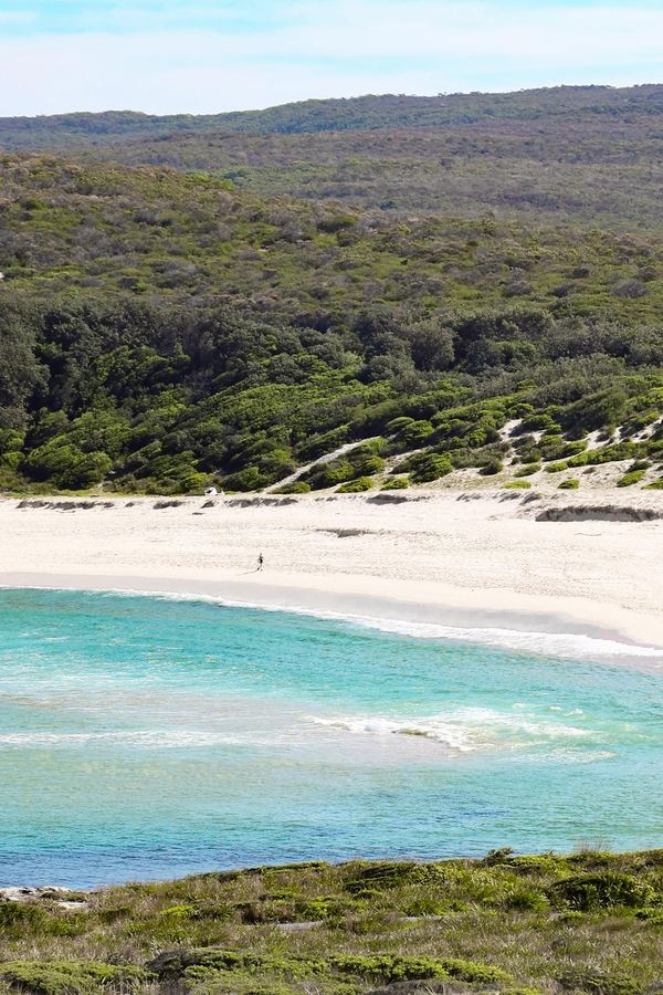
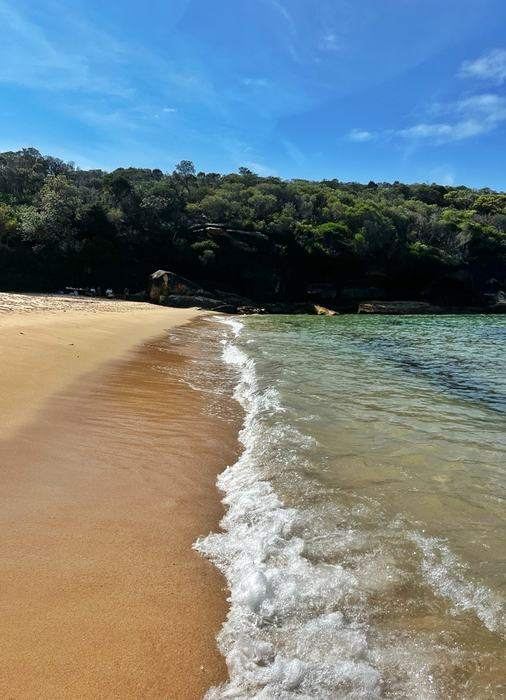
Marley Beach's wide stretch of sand and turquoise water

A beautiful coastal walk from Beachcomber Avenue to Marley Beach, with a mix of ocean views, rocky trails and little stepping-stone sections along the way. You can finish at Marley Beach, a huge, wild Aussie beach.

My experience & recommendations

Park: Beachcomber Avenue, Otford ↗

  • From the end of Beachcomber Avenue follow the fire trail into Royal National Park, easy going and mostly flat for the first stretch, with a few rockier and stepping-stone sections further along.
  • Wedding Cake Rock is stunning in photos, but stay off the actual ledge. It's genuinely unstable and slowly cracking away, that's why NPWS and police keep an eye on it.
  • ~3.5km one-way to the rock, so ~7km return if that's as far as you go, around 2 to 2.5 hours.
  • Keep an eye out for all the other rock formations along the way too, some really cool shapes and textures to explore, nothing like what I'd seen on other walks.
  • Push on past the rock and down to Marley Beach, wide, wild and usually close to empty. Add this on and it's closer to 9km return and a good 3 hour outing.
  • No shade and no facilities the whole way, so bring plenty of water, sun protection and your swimmers for a dip at Marley.

Getting back: Same track back to Beachcomber Avenue.

Burning Palms Beach & the Figure Eight Pools

Royal National Park, NSW 6km return · ~2 hours each way Bring: Swimmers One-way
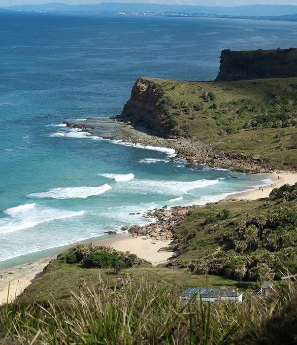
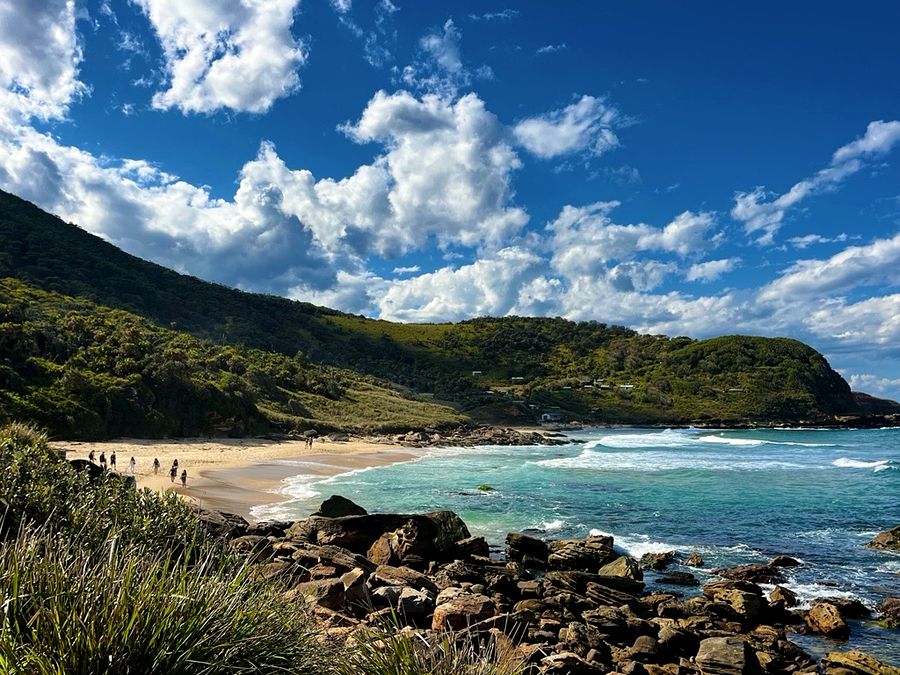
Aerial view down the cliffside to Burning Palms Beach
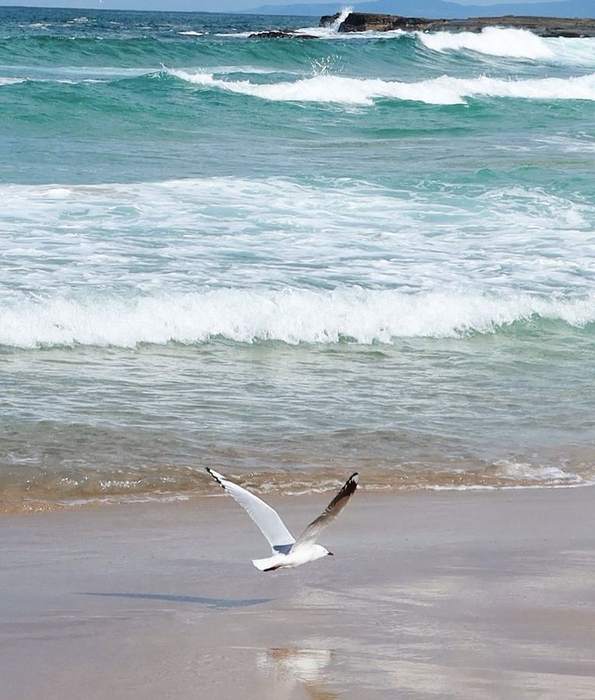
A seagull flying low over the waves at Burning Palms Beach
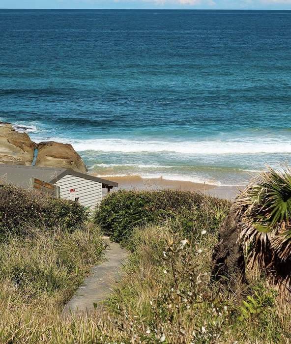
The track down to Burning Palms Beach, past the old beach shacks
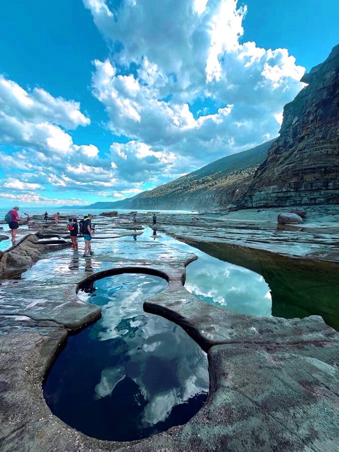
Rock pools at the Figure Eight Pools with people exploring at low tide

A steep, remote trek to one of the most unique natural pools around, with some of the best coastal views Australia has to offer.

My experience & recommendations

Park: Garawarra Farm car park, Garie Road ↗

  • Steep descent down from the car park, consider it your warm-up.
  • The view on the way down is an insane view of Burning Palms Beach. A true coastal Australian experience. Well worth the knee-jarring descent.
  • Once you're at the bottom, walk along the rocks around two headlands to reach the pools. It's not incredibly easy, but it's 100% doable.
  • Low tide only, no exceptions. Check the NPWS forecast before you go, that rock shelf sweeps people off even when it looks calm. No phone reception either, so pack water, food, and tell someone your plan!
  • Bring swimmers and a towel. Once you start the walk down, there's no turning back!
Getting back: Same track back up, straight to the car.

Wattamolla to Eagle Rock

Royal National Park, NSW ~50km south of the CBD · ~1 hour drive Bring: Swimmers & walking shoes Loop
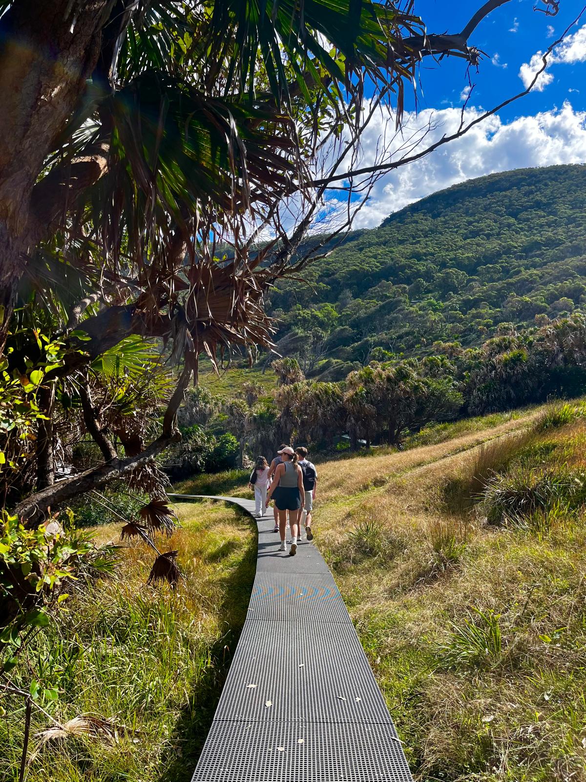
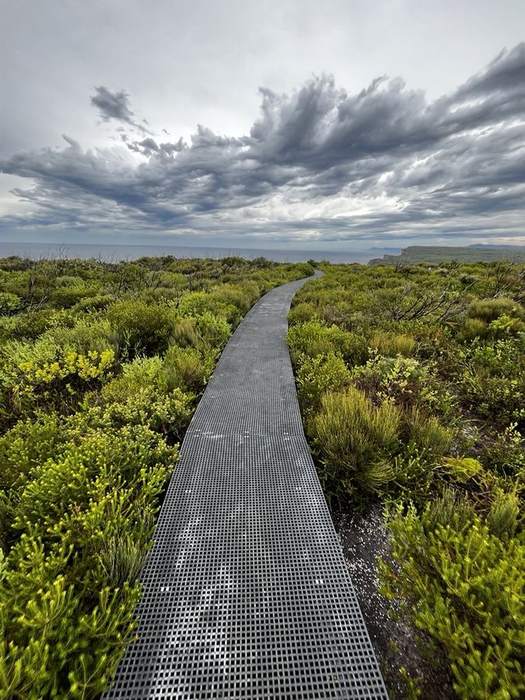
Boardwalk track through the heathland towards the ocean
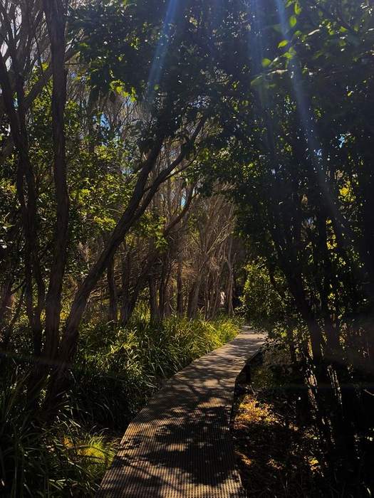
Sunlit boardwalk through the coastal forest
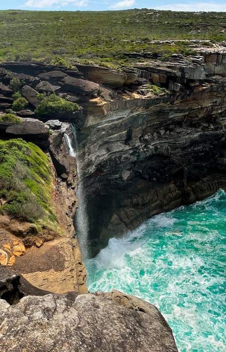
A small waterfall dropping into the ocean off the cliffs near Eagle Rock
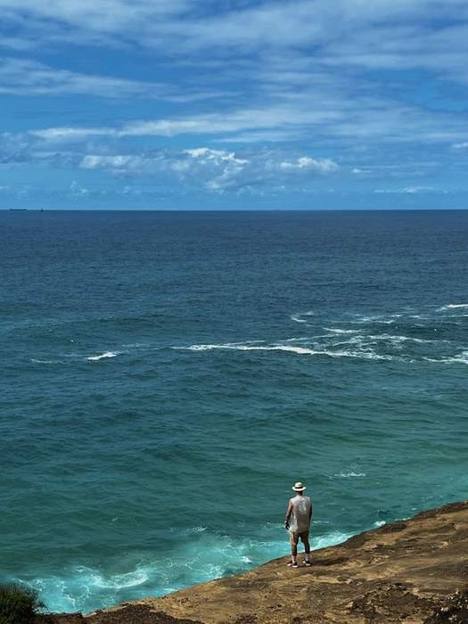
Looking out over the ocean from the clifftop near Eagle Rock

A boardwalk-style coastal walk through Royal National Park that hugs the cliff edge almost the whole way. Save the swim at Wattamolla for the end, you'll want it.

My experience & recommendations

Park: Wattamolla car park, off Sir Bertram Stevens Drive ↗. $12 a day, covers you for the whole of Royal National Park.

  • Get there early, like 9–10am, especially if it's sunny. The car park at Wattamolla fills up that fast...
  • From the picnic ground, take the trail marked Coast Track South and follow the path.
  • Expect a very exposed walk along the clifftops, with a few little creek and river streams running through the track at different points too.
  • I walked to Eagle Rock and turned back, about 7.4km return, so give yourself around 2.5 hours. Keep an eye out for wildlife too, I spotted an echidna wandering through the heath and whales breaching!
  • Save the swim at Wattamolla Beach for the end of the walk. Trust me, you'll want it.

Wattamolla Beach

You could spend a whole day here. A waterfall spills into a sheltered lagoon that opens straight into the ocean, calm on one side, surf on the other. Golden sand, cliffs either side, and quieter than the beaches closer to the city.

The waterfall spilling into the lagoon at Wattamolla, with people swimming
Golden sand meeting the water at Wattamolla Beach

The Basin Track

Ku-ring-gai Chase National Park 25km north of the CBD · ~45 min drive Bring: Swimmers Unofficial loop
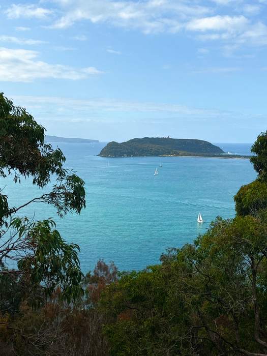
West Head Lookout view over Broken Bay
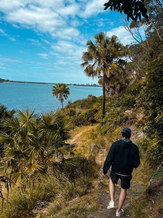
Walking the track down towards the water
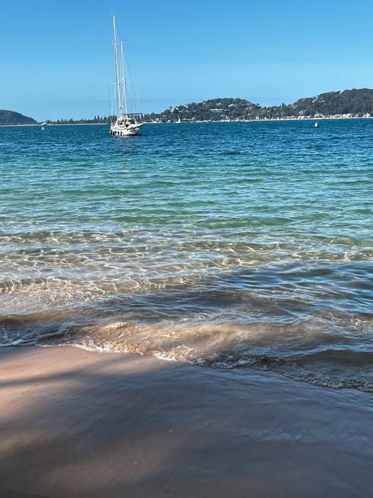
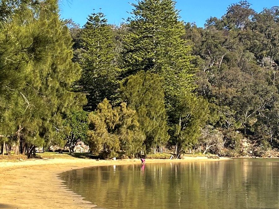
The Basin's calm shallow water
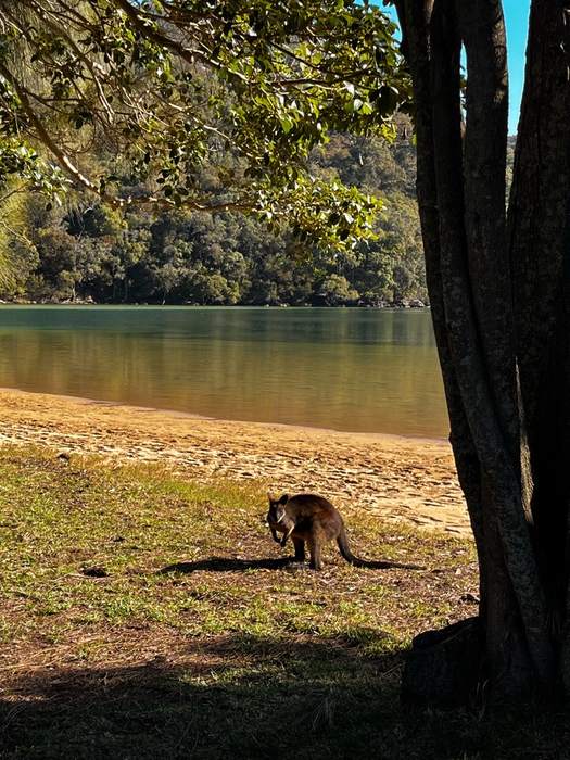
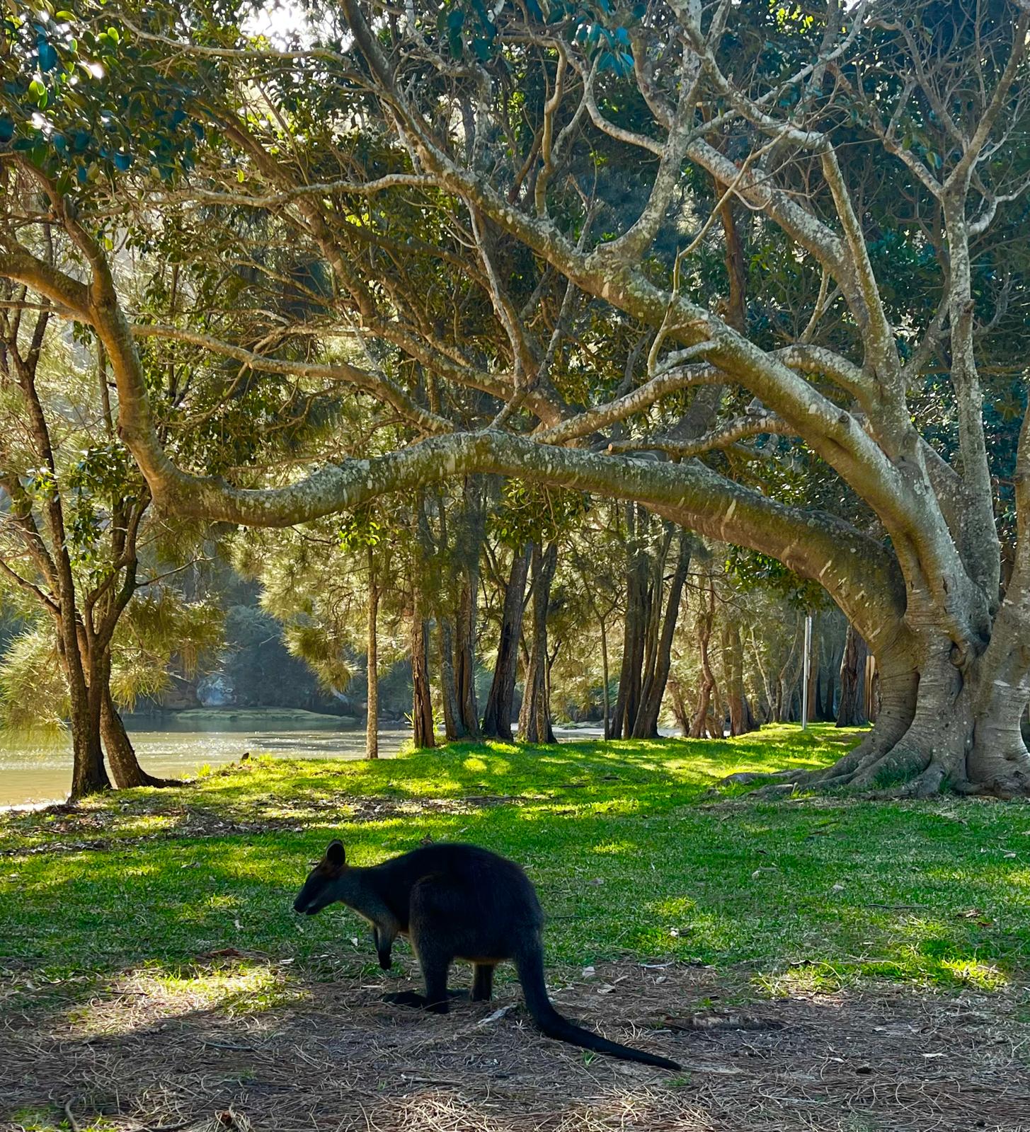
A wallaby by the water at the Basin

A sandstone headland by the Hawkesbury and Pittwater, about 45 minutes from the CBD. Loaded with Aboriginal engraving and cave art, plus great views over Barrenjoey and Broken Bay from West Head.

My experience & recommendations

Park: Basin Track car park, West Head Road ↗

  • First, swing by West Head Lookout for the view, then hit the steep West Head Army Track down. Worth it if your legs have the climb back up in them.
  • For the walk to the Basin campground, take Mackerel Track, veering left, from the car park. A mix of ocean glimpses, heathland and dry eucalypt forest.
  • No official track links Mackerel to the Basin, but you can loop it anyway. Walk the coastline at low tide, or take the rough unofficial bush track (about 25–30 min) at high tide.
  • Detour to Currawong Beach for a swim if you're up for it, then you'll land at the Basin. Genuinely gorgeous, low-key, and crawling with wallabies.

Getting back: Loop back on the Basin Track. Steep, but a clear path the whole way (about 30-45mins back up).

Refuel stop

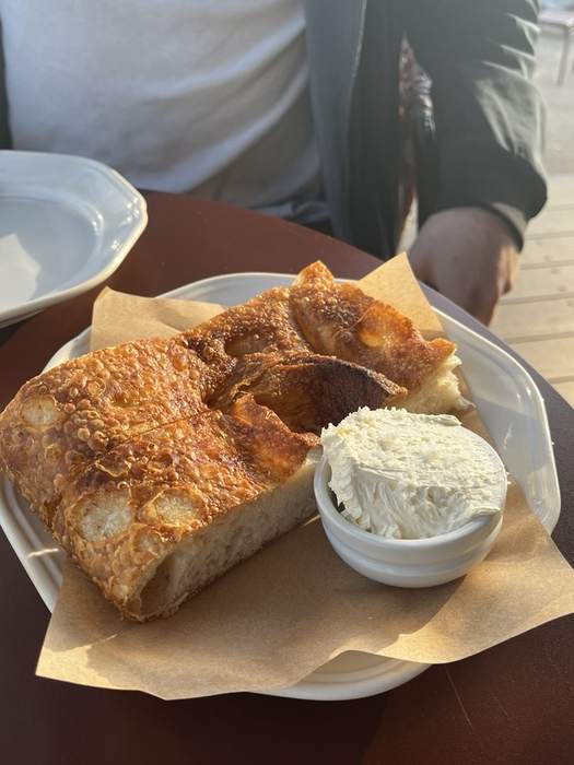
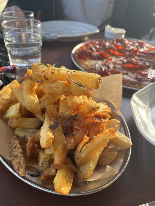
McCarrs after, in Terrey Hills, best pizza I've had, hands down. Crust was so crispy, and get the chips too.

Crispy sourdough with whipped butter at McCarrs
Rosemary salted chips at McCarrs
Spicy salami pizza at McCarrs

Woolloomooloo to the Opera House

Woolloomooloo, NSW ~2km one-way · ~35 mins Bring: Your camera One-way
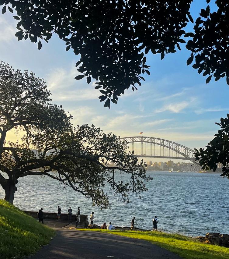
The path along the water with the Harbour Bridge in the distance
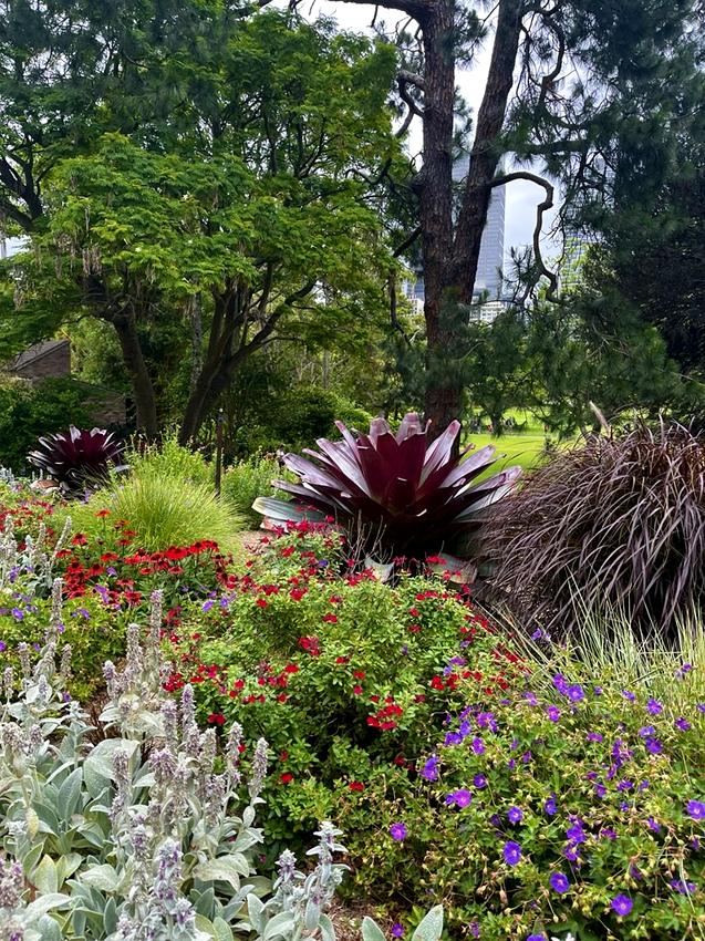
Flower beds in the Royal Botanic Garden with the city skyline behind
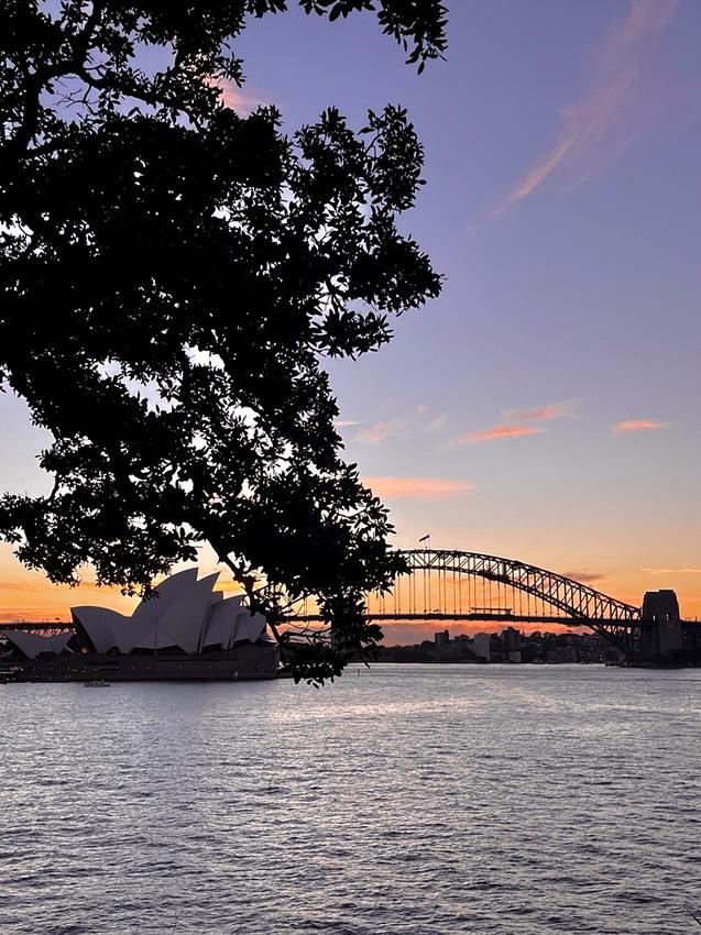
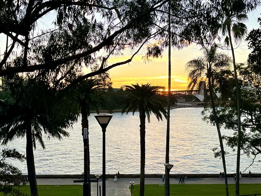
Sunset silhouette of the Opera House and Harbour Bridge from Mrs Macquarie's Chair
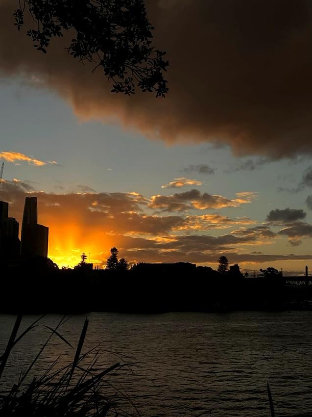
Golden sunset glow over the city skyline

The most iconic view in Sydney in my opinion, and a very easy stroll. You'll get the Opera House and the Harbour Bridge in one frame. It's the walk I take everyone on their first day in Sydney - shows off the city so well.

My experience & recommendations

Start: Harry's Cafe de Wheels, Cowper Wharf Roadway ↗

  • You'll begin right at the head of the Woolloomooloo Wharf. You can walk it either direction, but I like starting here.
  • Keep left and follow the coastal path around the bay, not the road, for about 20 minutes to Mrs Macquarie's Chair. This is one of the best sunset spots in Sydney, though it's just as good as a leisurely daytime walk.
  • Keep walking and the path leads on into the Royal Botanic Garden, all the way to the Opera House if you want to make more of a day of it.
  • The garden itself is worth slowing down for. Big fig trees, manicured lawns running right down to the water, and if you're lucky you'll spot the resident fruit bats hanging in the branches.

Rose Bay to Watsons Bay

Rose Bay to Watsons Bay, NSW ~8km one-way · 2-3 hours Bring: Swimming togs One-way
The path along Lyne Park near Rose Bay Wharf
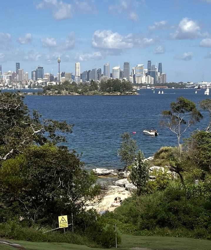
Sydney skyline and the harbour, view from the walk
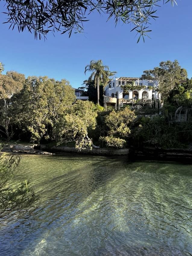
Parsley Bay, calm clear water and a waterfront house
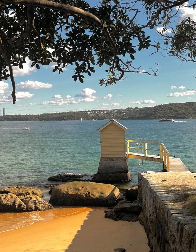
Camp Cove, the bathing boxes and calm water

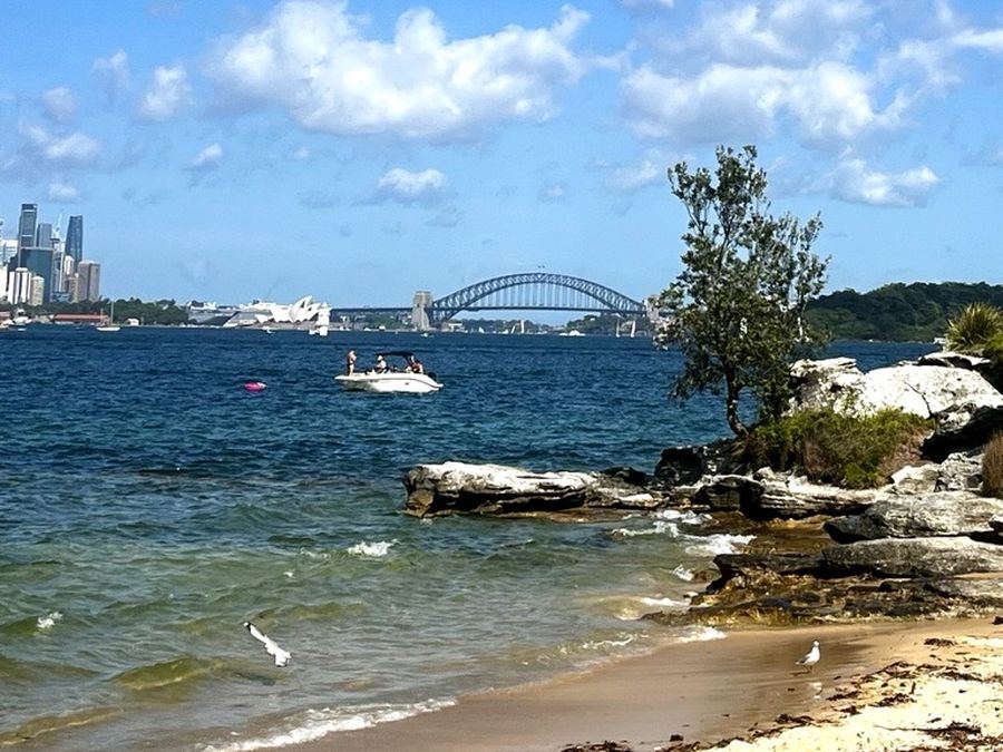
My favourite walk if you want to get a feel for Sydney in one go. City skyline, the Harbour Bridge, hidden coves, and it ends at Watsons Bay for fish and chips or a feed at the boutique hotel.

My experience & recommendations

Start: Hermitage Foreshore Reserve ↗

  • Walk down Tivoli Avenue and keep following it to the left until you meet Bayview Hill Road, that's where the trail actually starts.
  • Best swim along the way is Parsley Bay. Something magical and still about the water there, my top recommendation.
  • Camp Cove Beach is an absolute must, a little beach right in Watsons Bay.
  • Short lighthouse walk from Watsons Bay too (Hornby Lighthouse). Out and back, not exactly a loop, but worth doing.
  • Watsons Bay itself is stunning, feels like a different country entirely.

Getting back: Catch the 324 or 325 bus straight back to Rose Bay.

Refuel stop

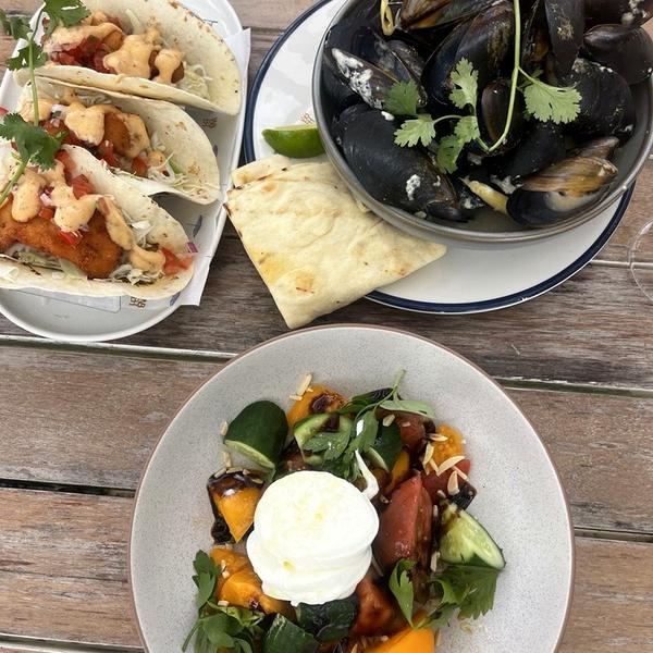
Take your pick in Watsons Bay: a sit-down feed with a view at the Watsons Bay Boutique Hotel (image below), or takeaway fish and chips from Doyles on the Wharf, best eaten with your feet in the sand.

Fish tacos, mussels, and a burrata salad at Watsons Bay

Camp Cove Beach

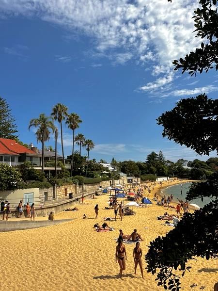
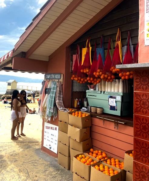
Calm, clear water and a genuine little community feel. Grab a fresh juice from the kiosk on the sand and just sit for a while, it's one of those spots that's hard to leave.

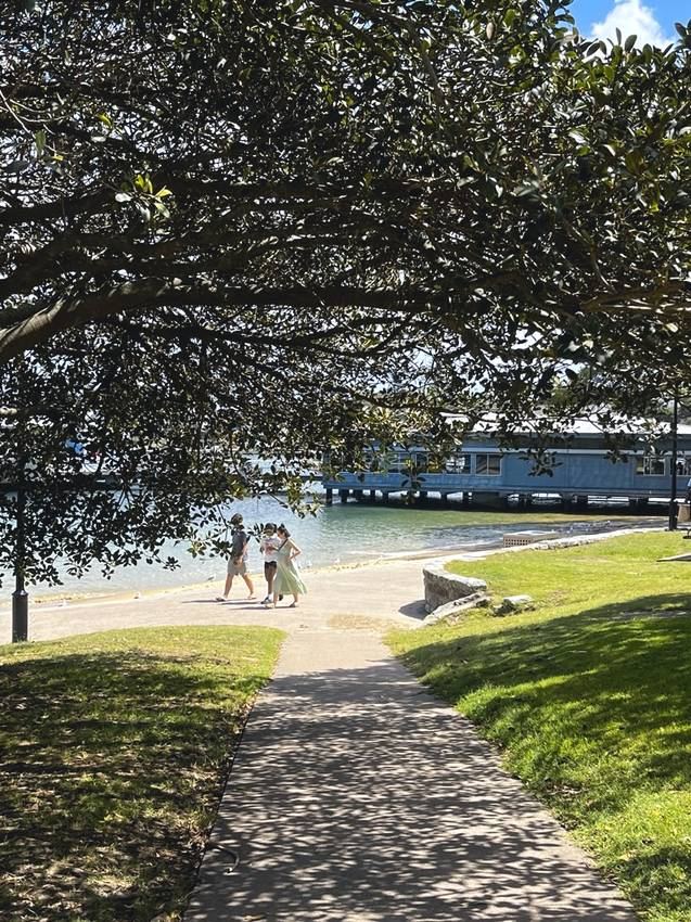
Camp Cove Beach on a sunny day, palm trees along the shore
Camp Cove Kiosk, the little fruit and juice stand on the sand
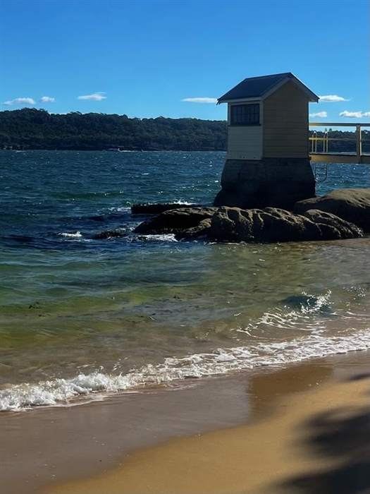
Camp Cove Beach with the historic bathing box on the rocks

Palm Beach & the Barrenjoey Lighthouse

Palm Beach, NSW ~40km north of the CBD · ~1 hour drive Bring: Beach gear & your camera Loop
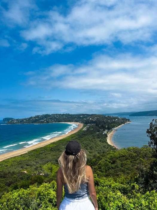
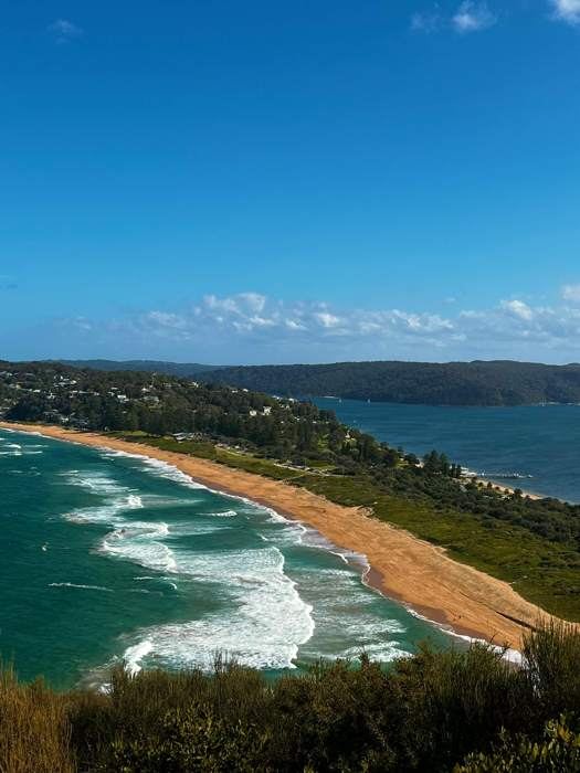
Looking out over Palm Beach and Pittwater from the lighthouse lookout
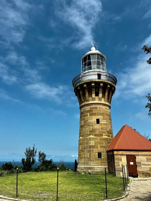
Barrenjoey Lighthouse against a clear blue sky
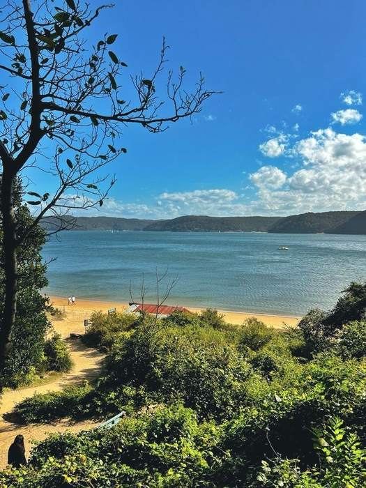
The Pittwater side of Palm Beach, with a beach shed tucked into the dunes
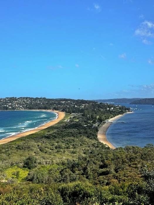
Aerial view of the Palm Beach isthmus, ocean on one side and Pittwater on the other

A chill day out with a bit of activity thrown in, the lighthouse walk, a beach either side, and the pool Home and Away made famous.

My experience & recommendations

Park: Governor Phillip Park ↗

  • The Barrenjoey Lighthouse walk is a ~2km loop, up the main track and down Smugglers Track for a change of scenery on the way back.
  • The iconic insta shot of the two beaches isn't actually at the lighthouse, it's the rock platform 5 minutes before it! As seen in the images above.
  • You've two beaches to visit: surf and swell on the ocean side, dead-calm water over on the Pittwater side.
  • Cool off at the Palm Beach Rock Pool, man-made, 50m, and yes, THE Home and Away pool.
  • No agenda kind of day. Walk, swim, eat, repeat.

Refuel stop

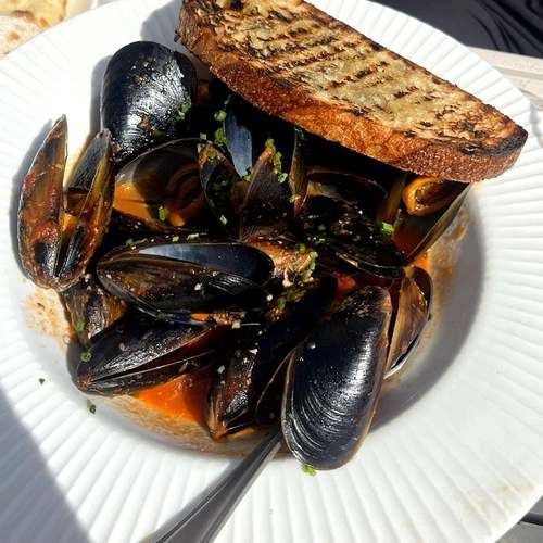
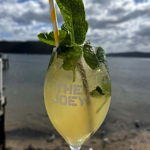
The Joey, on the Pittwater side. Casual, right on the water, good lunch spot.

Mussels with toasted sourdough at The Joey
Margherita pizza at The Joey
Cocktail in a The Joey glass overlooking Pittwater

Curl Curl to Dee Why Coastal Walk

Northern Beaches, Sydney ~2.5km one-way · ~1 hour ~20km northeast of the CBD · ~35 min drive Bring: Swimmers One-way
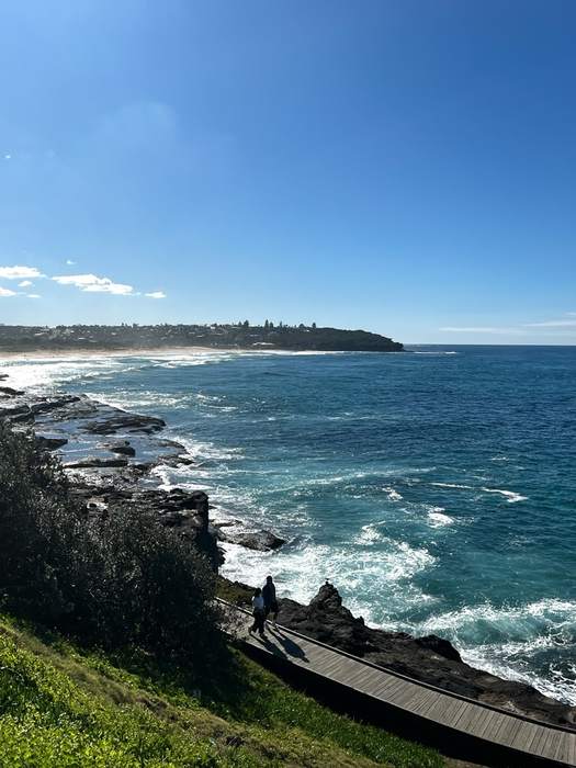
Boardwalk along the headland between Curl Curl and Dee Why
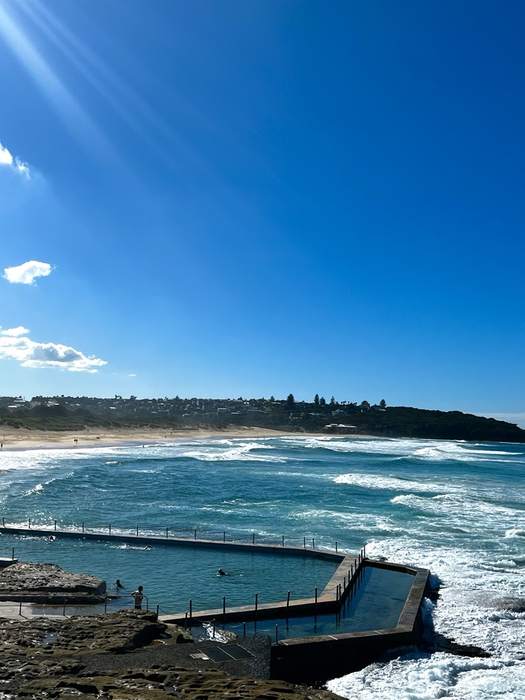
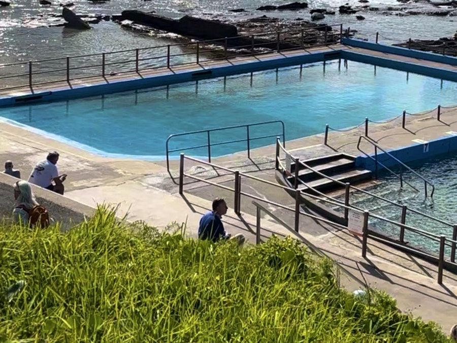
Ocean pool along the coastal walk
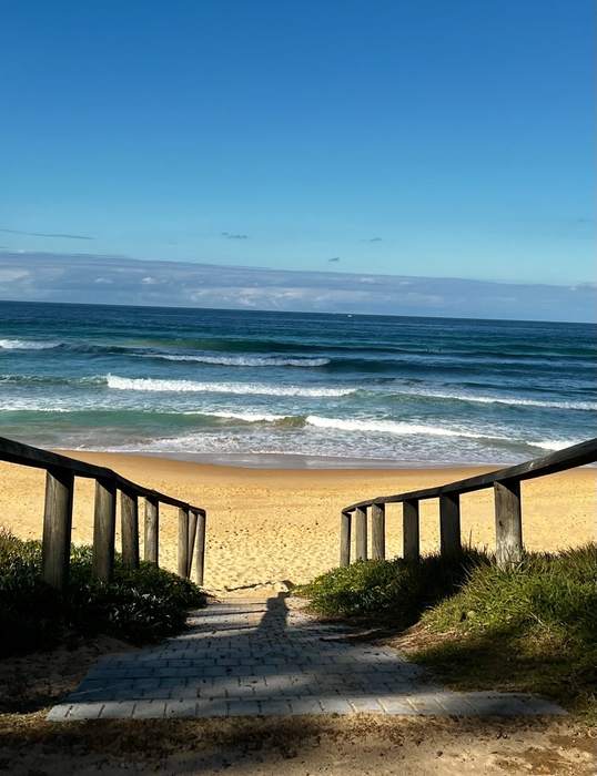
Stairway down onto the beach
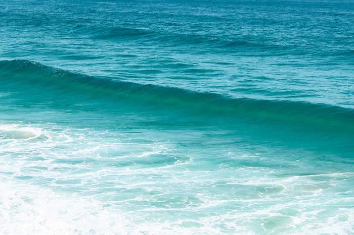
A wave rolling in along the walk

A short, scrappy little coastal walk strung between two of the Northern Beaches' best-known stretches of sand. A lagoon boardwalk, a coastal bush track, and ocean views the whole way, over almost before it starts.

My experience & recommendations

Park: on Lumsdaine Dr, just before the boardwalk ↗

  • Start at the boardwalk and follow the path all the way along Curl Curl Beach. It adds a bit of length to the walk, but it's stunning and worth it.
  • One of the quieter coastal walks around, a mix of headland lookouts and coastal bush track.
  • Plenty of beaches and spots to swim or chill along the way if you want to turn it into a full day out.
  • Finishes at Dee Why Beach, one of the more low-key, less crowded ones on this stretch.

Getting back: Get the 166 bus back to Curl Curl, about 15–20 minutes. Or grab a Didi if you don't fancy the wait.

The Spit to Manly Walk

The Spit, Mosman 10km one-way · ~3 hours Bring: Lots of water One-way
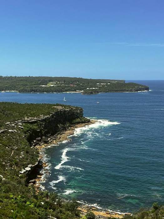
Cliffs and coastline along the Manly walk, sailboats out on the water
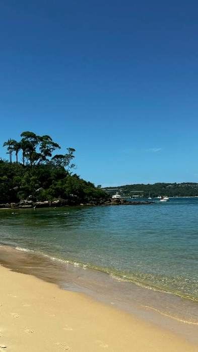
A quiet cove along the Spit to Manly walk, palm trees on the point
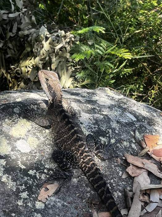
A water dragon sunning itself on a rock along the track
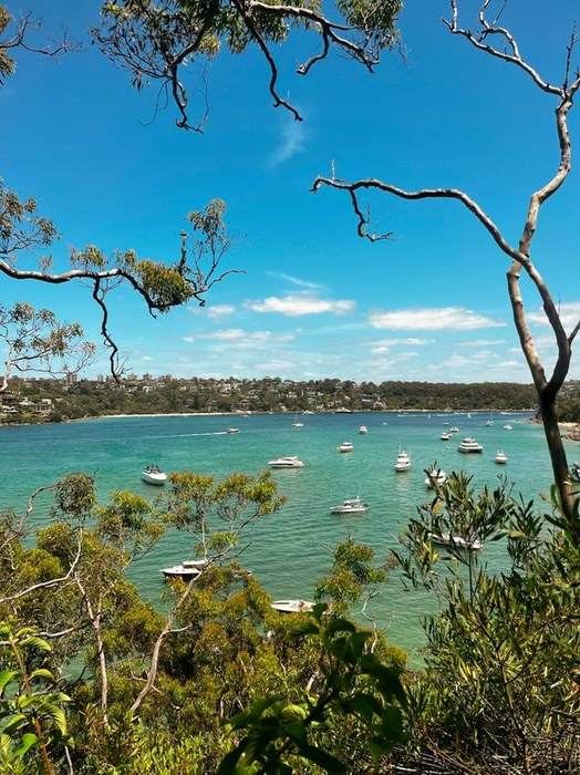
Boats moored in the harbour near Manly, city skyline in the distance

A real bush-to-beach trek, from The Spit all the way to Manly, with coves, swims, and one of the best walks Sydney's got.

My experience & recommendations

Start: Bus 178/180 from Wynyard to Spit West Reserve, or drive & park at Spit West Car Park ↗ and walk over the bridge.

  • Begin at Ellery's Punt Reserve ↗ (east side of the Spit bridge) and follow the Spit to Manly signs the whole way. Expect a truly beautiful coastal walk.
  • Cute coves and beaches the whole way through: Reef Beach, Forty Baskets, Fairlight, all worth a dip if you've got time!
  • Path itself is great, well marked, a few short climbs, nothing technical.
  • The reward at the end is real. Manly is unreal, and its own little world.

Getting back: Bus 143/144 from Belgrave St, off at Spit East Reserve.

Refuel stop

Takeaway sambo from Norma's Deli, eaten by the beach, then Hugo's Manly on the wharf for pizza with a harbour view. Grab a Butterboy cookie on the way out.

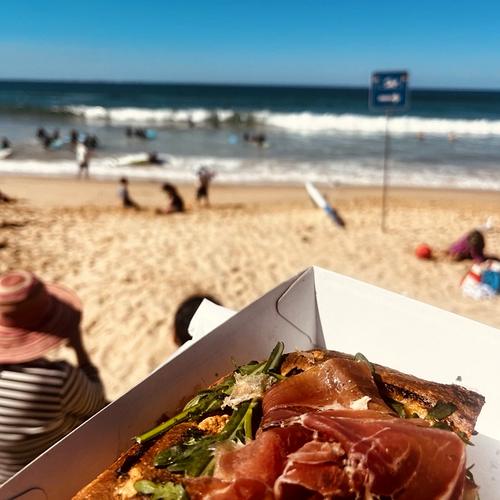
A prosciutto sandwich from the beachside kiosk, waves in the background
Prosciutto pizza at a table overlooking Manly Beach
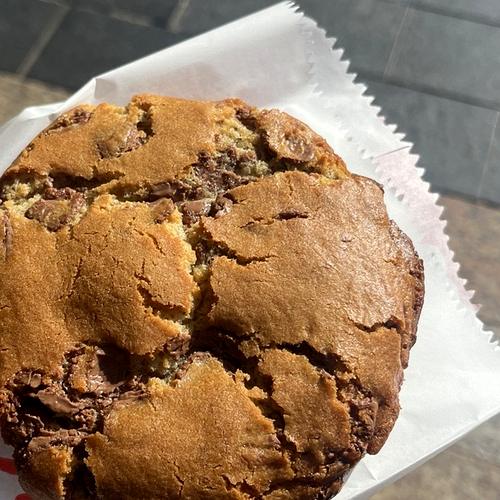
A chocolate chip cookie, the perfect end to the walk

Kentlyn Basin

Kentlyn, NSW ~2km return · ~25 min down Bring: Swimmers
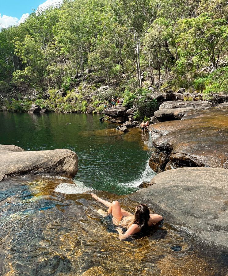
Soaking in the shallows at the top of the falls at Kentlyn Basin
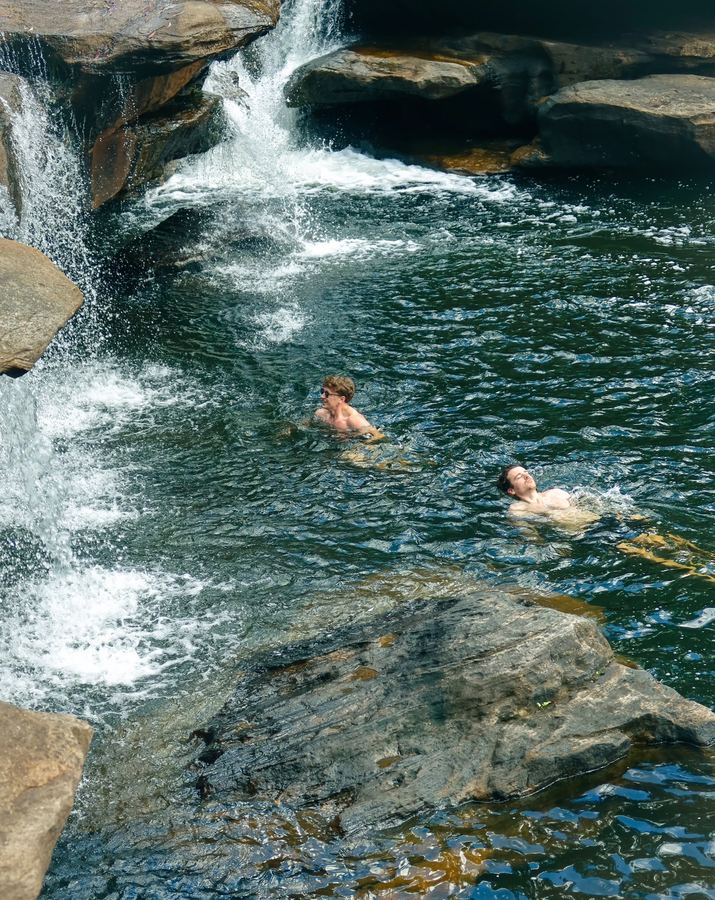
Swimming below the waterfall at Kentlyn Basin
The waterfall cascading into Kentlyn Basin
Cooling off right under the falls at Kentlyn Basin

A hidden swimming hole tucked into the bush out past Campbelltown, with a wide waterfall spilling into a large natural pool on the Georges River.

My experience & recommendations

Park: Kentlyn Reserve Parking, Georges River Road ↗

  • Follow the dark blue arrows for "The Basin" and it'll lead you straight there.
  • It's short, only about 2km return and roughly 25 minutes down depending on your pace (quicker than I expected), but there are lots of steps, so it's quite steep on the way back up, very doable, just take your time!
  • The reward is a large natural swimming hole on the Georges River with a little waterfall cascading into it. We crossed the river at the top of the waterfall to the other side, there's a little gap between the rocks that gets you safely into the water.
  • Feeling adventurous? You can jump off the rocks into the basin, it's deep enough.
  • Top tip: if you don't fancy getting into the basin (fair enough, some people just aren't into it), there are a bunch of smaller swimming holes at the top of the waterfall, deep enough to sit right into for a smaller dip.
Every spot, on the map